Quick Answer: San Rafael is Marin County's largest city and county seat, with roughly 61,000 residents across two distinct halves: central and east San Rafael (94901), which holds the historic downtown, Victorian-era Gerstle Park, and the San Pedro Peninsula, and northern San Rafael (94903), which holds Terra Linda's Eichler neighborhoods, Marinwood, and Lucas Valley. Founded around Mission San Rafael Arcángel (1817) and incorporated in 1874, it offers the widest housing range in Marin — from the county's lowest condo entry points to gated hillside estates. It is also Marin's transit hub, with two SMART stations, the Bettini Transit Center, and the county's only East Bay bridge connection.
Key Takeaways
San Rafael is really two markets wearing one city name, split roughly at Puerto Suello Hill where US-101 crests between downtown and Terra Linda. The 94901 side is the older city: the Fourth Street downtown corridor, Victorian and Craftsman-era Gerstle Park and the West End, Dominican's estate streets around Dominican University of California, the Canal's multifamily district, and the San Pedro Peninsula running past Loch Lomond and Glenwood to Peacock Gap, China Camp State Park, and McNears Beach. The 94903 side is postwar and mid-century: Terra Linda, Mont Marin, San Rafael Meadows, and Smith Ranch, plus the Lucas Valley corridor.
The jurisdiction map matters as much as the ZIP map. Marinwood, Lucas Valley, Santa Venetia, and Los Ranchitos are unincorporated Marin County communities with San Rafael addresses: county planning governs them, and Marinwood runs its own community services district with its own fire department and parks. City versus county status changes which planning code, design review process, and service agencies apply to a parcel, so I confirm it on day one of any search or listing here.
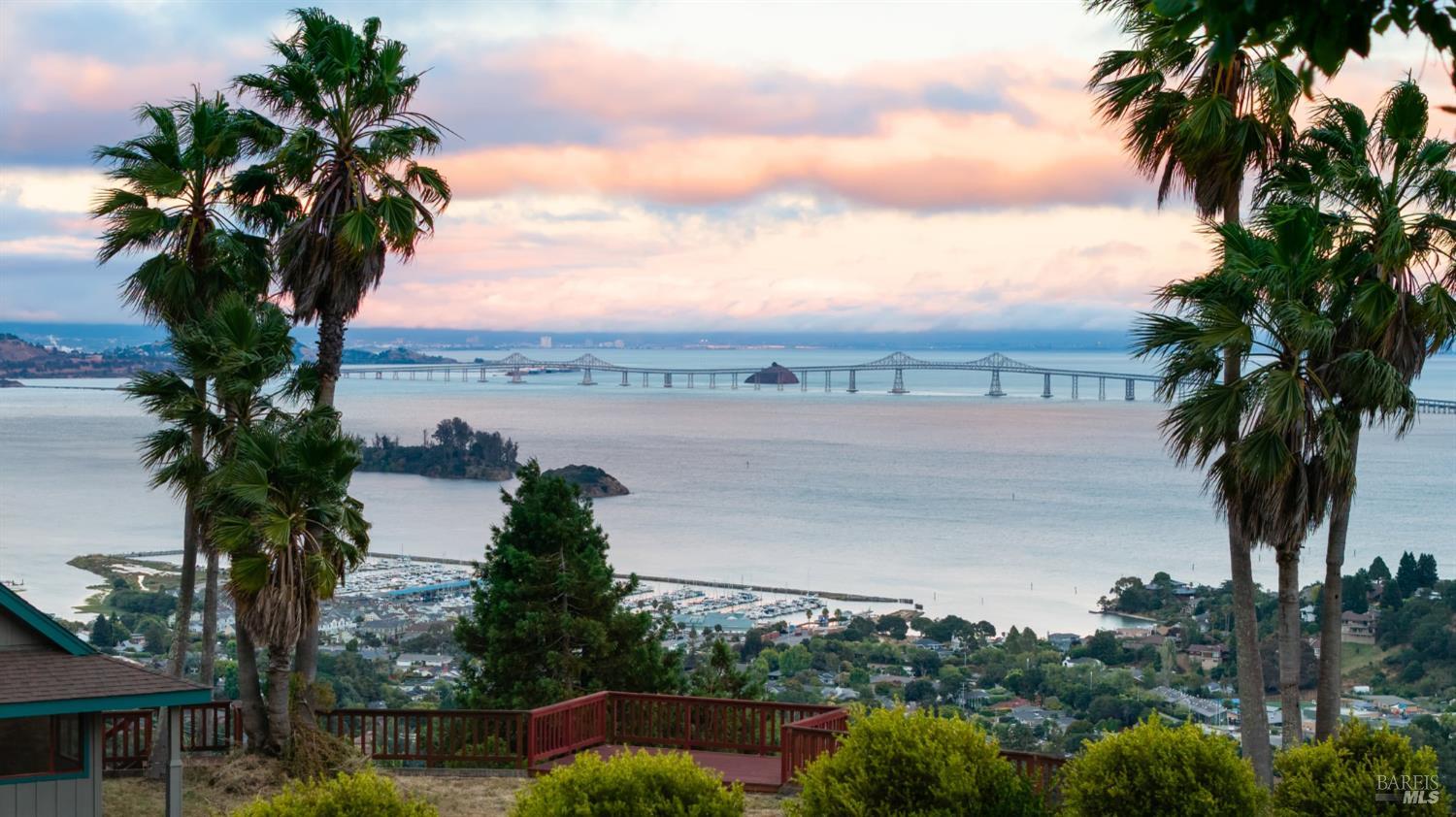
Position is San Rafael's structural advantage. US-101 runs through the city north-south, the Richmond-San Rafael Bridge (I-580) gives Marin its only direct East Bay connection, and the Bettini Transit Center plus two SMART rail stations make this the county's transit hub.
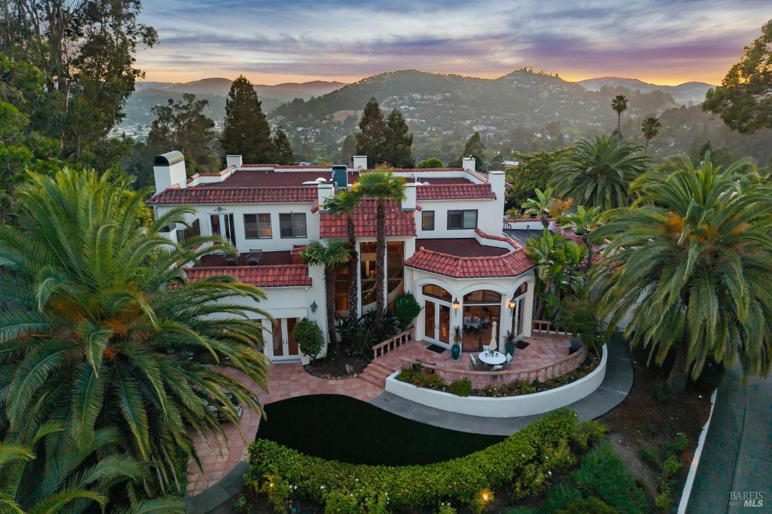
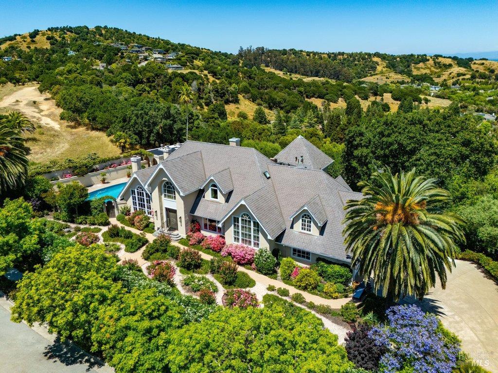
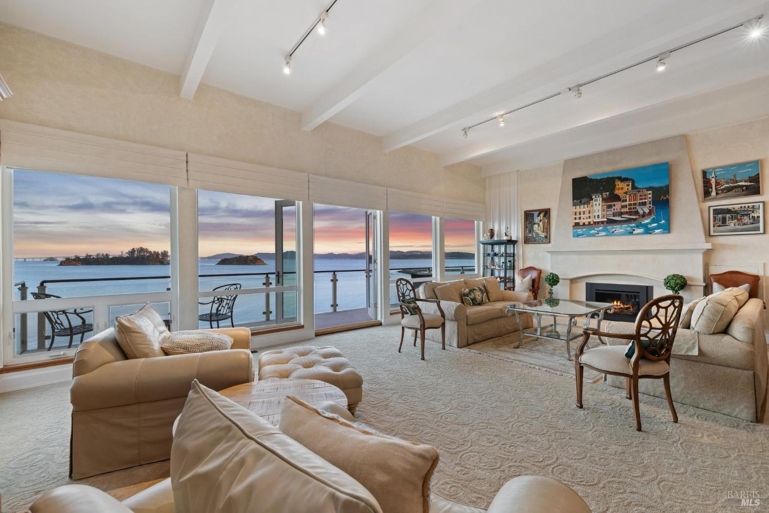
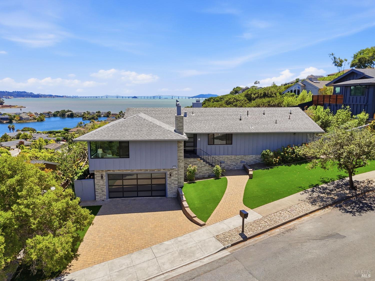
San Rafael is Marin's breadth market: more neighborhoods, more property types, and more price points than any other town in the county, which makes averages here less useful than anywhere else in Marin. A city-level median blends downtown condos, Eichler tracts, peninsula water-view homes, and gated estates into a single number that describes none of them. This is exactly why I analyze San Rafael at the sub-market level in my quarterly BAREIS MLS work rather than quoting the city-wide figure.
In that quarter-by-quarter analysis, San Rafael consistently ranks among the county's most bifurcated markets — the gap between how prepared, accurately priced homes perform and how stale listings perform is wider here than nearly anywhere in Marin. Turnkey homes in the strongest pockets compete like southern Marin; homes that miss on price, condition, or presentation give buyers more negotiation room than the county's headline numbers suggest. For buyers, that spread is the opportunity: San Rafael is where well-advised offers on imperfect homes still work. For sellers, it is the warning: preparation and pricing discipline determine which side of the gap you land on.
This guide is deliberately evergreen, so the perishable numbers live where I can update them constantly: my Marin Market Intelligence briefings and video library carry the current quarter's BAREIS MLS medians, days on market, and negotiation spreads for San Rafael's sub-markets. You can also browse current listings across the city at any time.
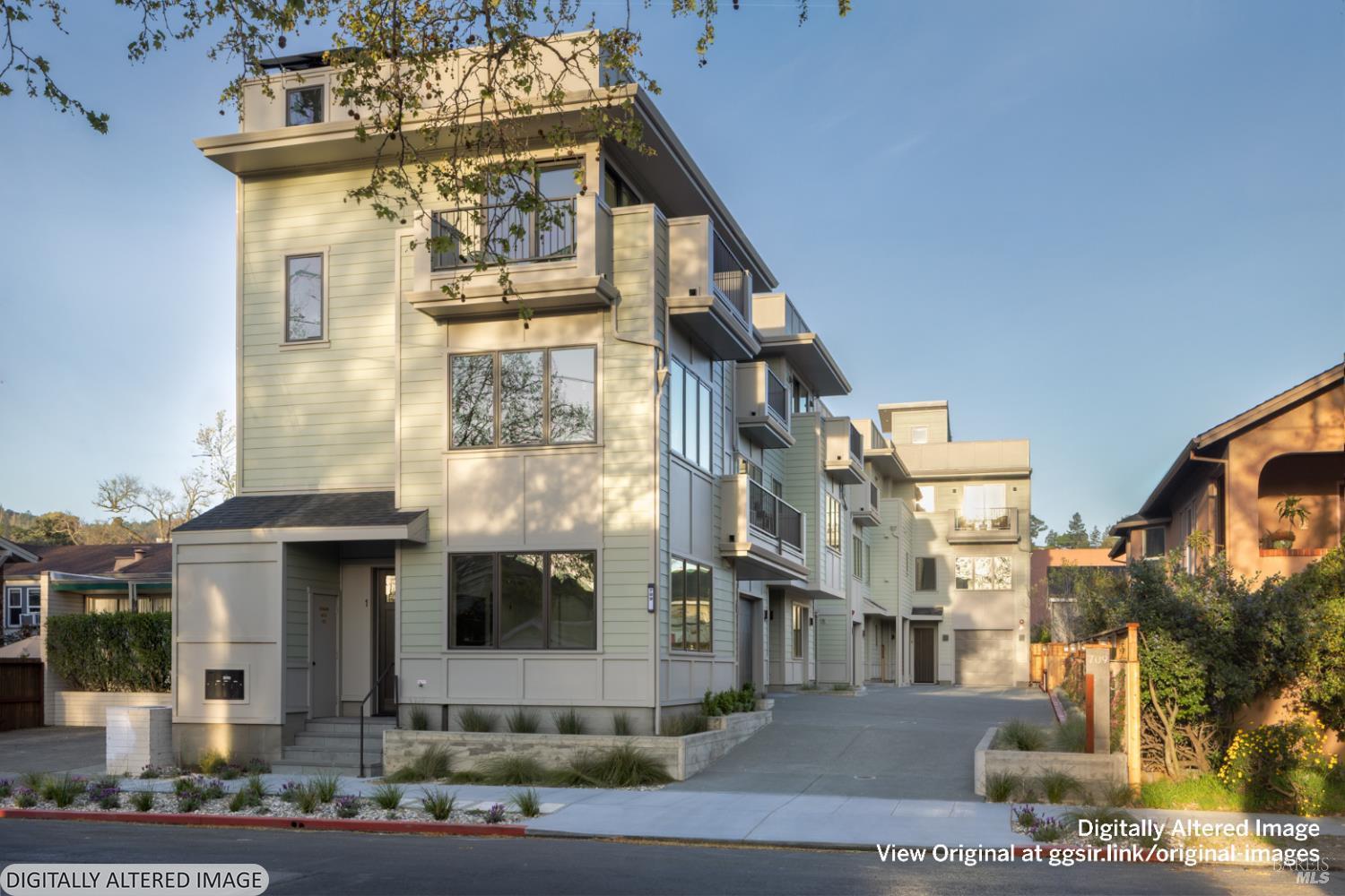
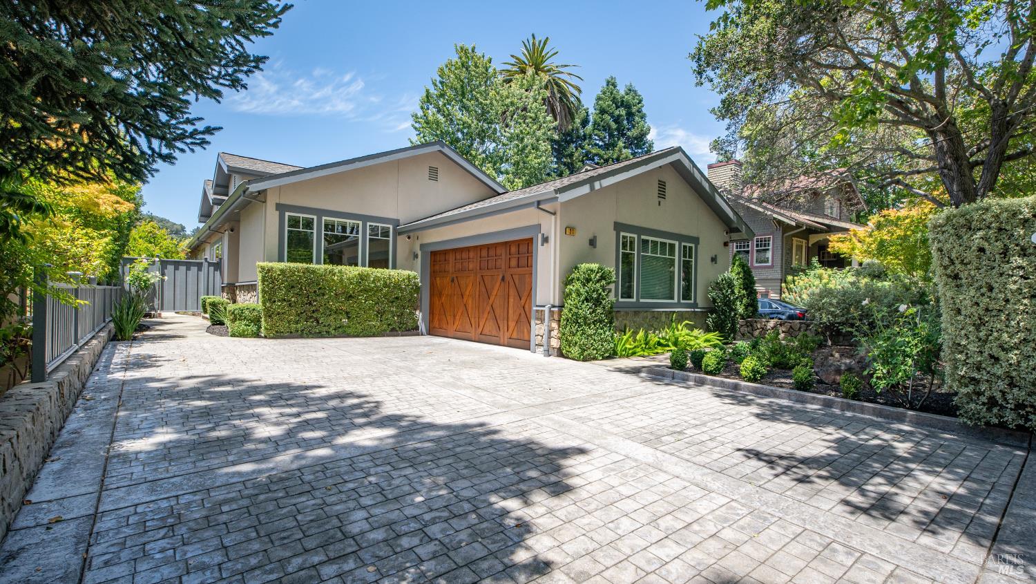
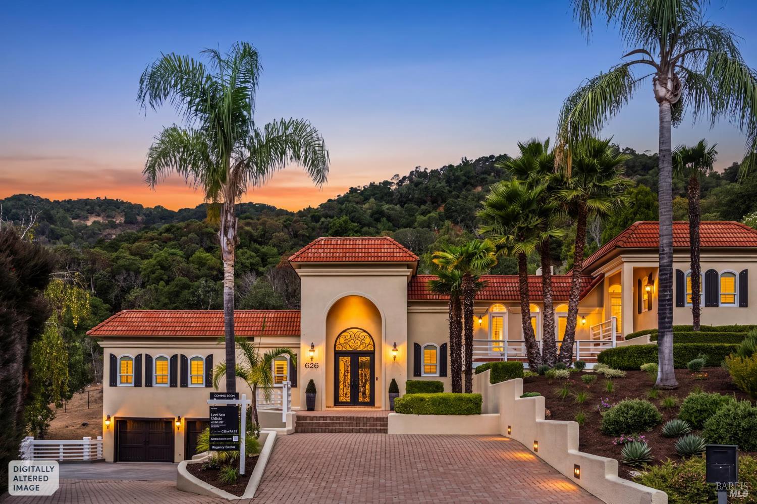
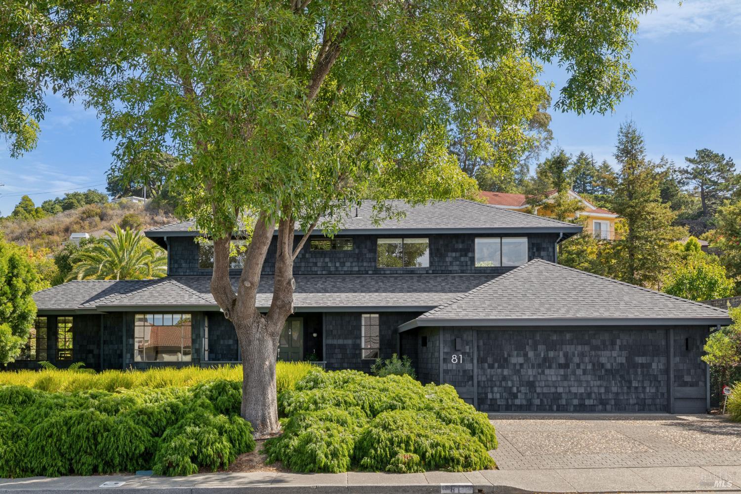
San Rafael's housing stock spans 140 years, and each era claims its own territory. The oldest layer — 1880s-1910s Victorians and Craftsman homes — concentrates in Gerstle Park and the West End near downtown, with grand early-twentieth-century homes on Dominican's tree-lined streets. The 1920s through 1940s filled in Sun Valley and the blocks climbing toward the ridges. The postwar and mid-century boom built most of what buyers shop today: Terra Linda's Eichler neighborhoods from the 1950s and 1960s, Upper Lucas Valley's design-protected Eichler tract, Marinwood's ranch homes, and the Loch Lomond and Glenwood neighborhoods along the peninsula. Peacock Gap added golf-course living from the 1960s onward, and the newest layer is condos and townhomes downtown, at Smith Ranch, and in the Village at Loch Lomond near the marina.
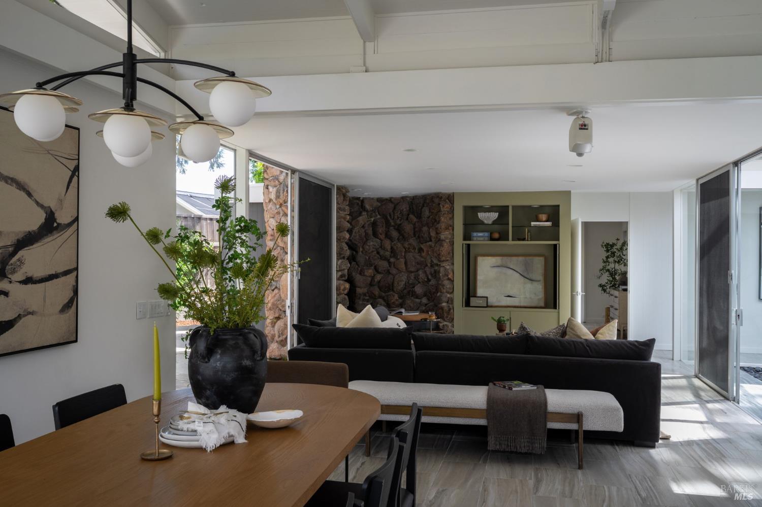
The Eichler story deserves its own paragraph because it drives a distinct buyer pool. Terra Linda was among Joseph Eichler's largest developments, and Upper Lucas Valley's 1960s tract is governed by a homeowners association whose design guidelines preserve the original mid-century architecture — a rarity that protects values but constrains renovation plans. Radiant heat systems, original roofs, and glass-wall energy performance are the recurring diligence items; sensitively updated originals command a premium over compromised ones.
Choosing in San Rafael starts with choosing a half of the city, then a terrain type. The working shortlist:
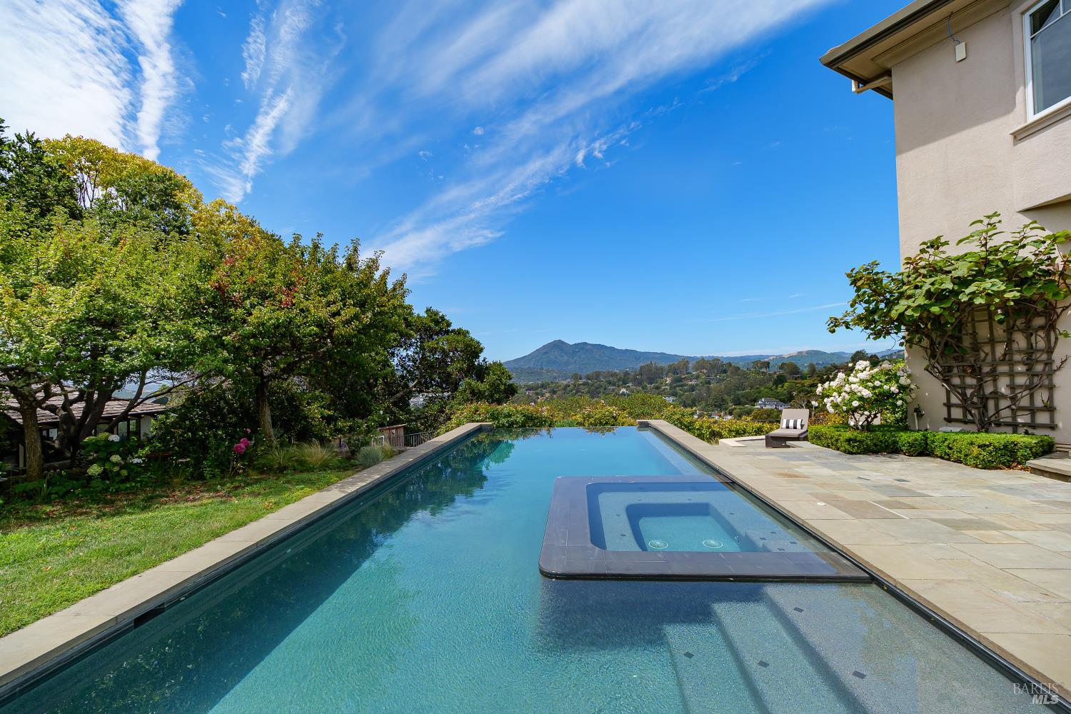
San Rafael sits on the sunny side of Marin's defining weather line. The Mount Tamalpais ridgeline intercepts much of the marine fog that covers Sausalito and Mill Valley on summer afternoons, so San Rafael — especially Terra Linda, Lucas Valley, and the San Pedro Peninsula — runs reliably warmer and clearer. Relocating buyers routinely learn this mid-search: the same July afternoon can be gray at Tam Junction and bright in Peacock Gap. For buyers prioritizing outdoor living, pools, or gardens, the sun belt is a genuine feature, and it partly explains why some buyers who start their search in southern Marin end their search here.
Daily life in San Rafael runs through the Fourth Street corridor, the county's most complete downtown: the Mission San Rafael Arcángel site that named the city, the California Film Institute's Smith Rafael Film Center, Sol Food's Puerto Rican kitchen, and blocks of restaurants and storefronts that stay busy without a bridge toll. The Marin County Civic Center adds a cultural anchor few suburbs anywhere can claim: Frank Lloyd Wright's final major commission, opened in 1962 and inscribed on the UNESCO World Heritage list in 2019, hosting the Marin Center venues, the Marin County Fair each July, and the Sunday farmers market, among the largest in California.
The outdoor ledger is anchored by the San Pedro Peninsula: China Camp State Park preserves a historic Chinese shrimp-fishing village along shoreline single-track that draws mountain bikers from across the Bay Area, McNears Beach County Park puts a swimming pool and picnic shoreline on San Pablo Bay, and Peacock Gap Golf Club rounds out the peninsula. On the north side, open-space preserves ring Terra Linda and Lucas Valley with trailheads at the ends of residential streets. Everyday errands run through Montecito Plaza, Andy's Local Market at the Loch Lomond marina, and Terra Linda's shopping corridors while the Northgate area works through its long-term redevelopment.
San Rafael City Schools operates the elementary (K-8) and high school districts serving most of the city, including San Rafael High School and Terra Linda High School. The Miller Creek Elementary School District — renamed from Dixie in 2019 — serves Marinwood, Lucas Valley, and parts of northern San Rafael, feeding Miller Creek Middle School. Dominican University of California gives the city a four-year university, and private options include Marin Academy, Mark Day School, and St. Isabella.
For performance data, consult GreatSchools and the California School Dashboard directly — attendance boundaries vary by address, particularly across the city/unincorporated line and between the two districts, so verify the assigned schools for any specific home rather than assuming by neighborhood.
Plan on roughly 30 to 55 minutes to downtown San Francisco by car depending on the hour, via US-101 south across the Golden Gate Bridge. San Rafael's real commute story is optionality: the Richmond-San Rafael Bridge (I-580) provides Marin's only direct East Bay access — meaningful for Berkeley, Oakland, and refinery-corridor commuters — while two SMART stations (Downtown at the Bettini Transit Center and Marin Civic Center) connect north to Novato and Sonoma County and south toward the Larkspur ferry. Golden Gate Transit buses radiate from the Bettini hub. The honest caveat: 101 through central San Rafael is one of the county's slowest segments at peak, so test your actual route at your actual departure time before you commit.
San Rafael's ownership costs depend heavily on which of its micro-markets you buy into. Mello-Roos Community Facilities Districts are not a feature of the established neighborhoods — a differentiator versus many newer California developments — and most single-family streets carry no HOA. The exceptions are structural: condo and townhome communities downtown, at Smith Ranch, and around Loch Lomond carry monthly dues; Upper Lucas Valley's Eichler association enforces design guidelines; and some hillside lanes operate under private or shared road maintenance agreements that I review in every applicable escrow.
Beyond the roughly one percent base property tax on assessed value, Marin County tax bills in San Rafael include voter-approved parcel taxes and assessments — school district measures, the Marin Wildfire Prevention Authority (Measure C) parcel tax, city levies, and in some neighborhoods assessment districts for local improvements. Amounts vary by district and change with elections, so I pull the actual county tax bill for any parcel a client is serious about rather than estimating.
The dominant housing eras here — Victorian through mid-century — carry era-specific budgets. Hillside homes add drainage, retaining walls, and foundation attention; Eichlers add radiant-heat, roof, and single-pane glazing questions; and the oldest downtown-adjacent stock adds systems and sewer lateral scrutiny. None of these are reasons to avoid a home. All of them belong in the offer math before contingencies come off.
The Canal area and Santa Venetia include mapped FEMA flood zones near San Rafael Creek and the bay, with Santa Venetia protected by levees, and king tides periodically test the eastern shoreline. Financed purchases in mapped zones typically require flood insurance. Two streets apart can mean different requirements — check the FEMA map for the specific parcel.
San Rafael's wildfire exposure follows its ridgelines. Hillside and open-space-adjacent neighborhoods — parts of Fairhills, Sun Valley, Dominican, the Terra Linda ridges, and Lucas Valley — carry High or Very High Fire Hazard Severity Zone designations on CAL FIRE's maps, while the flats, downtown, and bayfront generally do not. The designation affects insurance availability and pricing, triggers defensible-space obligations, and brings California's AB 38 documentation requirement into hillside sales. The Marin Wildfire Prevention Authority funds vegetation management, evacuation planning, and free defensible-space evaluations county-wide; the San Rafael Fire Department and, in Marinwood, the community services district's own fire department run the local programs.
Use CAL FIRE's Fire Hazard Severity Zone viewer to confirm the parcel's zone, then cross-check city or county hazard maps depending on jurisdiction. Before removing contingencies, get a written insurance quote — not a verbal indication — and ask specifically about brush clearance conditions. I make this sequence standard on every hillside purchase I represent in San Rafael.
These are San Rafael's two most common alternatives on buyer shortlists — Novato to the north and San Anselmo to the west. I maintain full guides to Novato and San Anselmo as well.
San Rafael | Novato | San Anselmo | |
|---|---|---|---|
Scale & role | Marin's largest city and county seat; broadest housing range | Marin's second-largest city; the county's value and new-construction corridor | Small Ross Valley town built around a historic downtown |
Dominant housing eras | Victorian downtown core, mid-century Eichler tracts, peninsula 1960s-80s, newer condos | Postwar ranch plus master-planned communities (Hamilton Field, Pointe Marin) and newer builds | Late-1800s to prewar stock with mid-century infill; little new construction |
Transit anchor | Two SMART stations, Bettini Transit Center, Richmond-San Rafael Bridge to the East Bay | Two SMART stations; US-101 corridor | No freeway or rail in town; Sir Francis Drake Blvd corridor |
Climate | Sun belt — fog-sheltered by the Mt. Tam ridgeline | Sun belt — Marin's warmest summers | Sun belt with canyon shade pockets |
Fire/flood profile | WUI on the ridges; flood zones in the Canal and Santa Venetia | WUI at the open-space edges; flood attention near Novato Creek and the baylands | WUI on wooded hillsides; creek-corridor flood history downtown |
HOA / Mello-Roos | No Mello-Roos in established areas; HOAs in condo/townhome stock and Upper Lucas Valley | No Mello-Roos in most areas; Pointe Marin carries a CFD, and HOAs are common in planned communities | No Mello-Roos; HOAs rare outside small condo pockets |
Relative price position | Mid-tier for Marin with the widest spread in both directions | Generally the most attainable of the three per square foot | Generally above San Rafael on a like-for-like basis, below southern Marin's peaks |
San Rafael offers the widest price spectrum in Marin, not a uniformly lower one. As the county's largest city, it spans entry-level condos, mid-century neighborhoods, and gated hillside estates that compete with any address in the county. On a like-for-like basis it generally prices below Mill Valley, Larkspur, and Ross, which is why it functions as Marin's primary move-up and first-purchase corridor. For current BAREIS MLS medians, see my Marin Market Intelligence briefings.
94901 covers central and east San Rafael: downtown and the Fourth Street corridor, Gerstle Park, Dominican, Sun Valley, the Canal, Glenwood, Loch Lomond, and the San Pedro Peninsula through Peacock Gap. 94903 covers the north: Terra Linda, Mont Marin, San Rafael Meadows, Smith Ranch, and the unincorporated Marinwood and Lucas Valley communities. The two halves differ in housing era, terrain, and school assignment, so most buyers end up shopping one side or the other.
Several communities with San Rafael addresses sit outside city limits under Marin County jurisdiction, including Marinwood, Lucas Valley, Santa Venetia, and Los Ranchitos. The distinction is practical: county planning rules apply, and services differ — Marinwood runs its own community services district with its own fire department and parks. Jurisdiction affects permits, design review, and service providers, so confirm city versus county status for any specific parcel on day one.
Yes — San Rafael holds two of the Bay Area's significant Eichler concentrations. Terra Linda was among Joseph Eichler's largest developments, built primarily in the 1950s and 1960s, and Upper Lucas Valley added a 1960s Eichler tract governed by a homeowners association with design guidelines that preserve the mid-century architecture. Original, sensitively updated Eichlers draw a dedicated buyer pool, and radon, roof, and radiant-heat condition are the recurring diligence items I flag.
Mello-Roos Community Facilities Districts are not a feature of San Rafael's established neighborhoods, unlike many newer California developments. Owners should still expect voter-approved parcel taxes and assessments on the Marin County tax bill — school district measures, the Marin Wildfire Prevention Authority (Measure C) parcel tax, city levies, and in some areas neighborhood-specific assessment districts. I pull the actual tax bill for any parcel a client is serious about rather than estimating.
Most established single-family neighborhoods carry no HOA, but San Rafael has more HOA-governed housing than most Marin towns because of its condo and townhome stock downtown, at Smith Ranch, and around Loch Lomond. Upper Lucas Valley's Eichler tract has an association with architectural design guidelines. Hillside buyers should also check for private or shared road maintenance agreements. Read the governing documents early — dues and rules vary widely across the city.
San Rafael City Schools operates the elementary (K-8) and high school districts serving most of the city, including San Rafael High School and Terra Linda High School. The Miller Creek Elementary School District — renamed from Dixie in 2019 — serves Marinwood, Lucas Valley, and parts of northern San Rafael, feeding Miller Creek Middle School. Private options include Marin Academy, Mark Day School, and St. Isabella. For performance data, consult GreatSchools and the California School Dashboard; attendance boundaries vary by address.
Plan on roughly 30 to 55 minutes to downtown San Francisco by car depending on the hour, via US-101 south across the Golden Gate Bridge. San Rafael adds two options most of Marin lacks: the Richmond-San Rafael Bridge (I-580) for direct East Bay access, and SMART train service from two in-town stations. Golden Gate Transit buses run from the Bettini Transit Center downtown. Test your actual route at your actual departure time before committing.
Yes — San Rafael has two SMART stations: Downtown San Rafael at the Bettini Transit Center and Marin Civic Center in the north. The line runs north through Novato into Sonoma County and south to the Larkspur ferry terminal connection. For buyers who want rail access in Marin, San Rafael and Novato are the practical options, and station proximity is a genuine differentiator among otherwise similar neighborhoods here.
The hillside and ridge neighborhoods — including parts of Fairhills, Sun Valley, Dominican, Terra Linda's ridges, and Lucas Valley — carry High or Very High Fire Hazard Severity Zone designations on CAL FIRE's maps, while the flats and bayfront areas generally do not. The designation affects insurance availability and pricing and triggers California's AB 38 defensible-space documentation at sale. Verify any address through the CAL FIRE Fire Hazard Severity Zone viewer and confirm insurability early in due diligence.
Low-lying areas near San Rafael Bay and San Rafael Creek can flood. The Canal area and Santa Venetia — the latter protected by levees — include mapped FEMA flood zones, and king tides periodically test the eastern shoreline. Financed purchases in mapped zones typically require flood insurance. Hillside properties face drainage and slope questions instead. Check the FEMA flood map and ask about flood history for any specific parcel.
San Rafael sits in Marin's sun belt. The Mount Tamalpais ridgeline intercepts much of the coastal fog that blankets Mill Valley and Sausalito, so San Rafael summers run reliably warmer and sunnier, particularly in Terra Linda, Lucas Valley, and the San Pedro Peninsula. Buyers relocating from San Francisco routinely underestimate this difference. If summer sun matters to you, San Rafael delivers it more consistently than almost anywhere in southern Marin.
The Marin County Civic Center in northern San Rafael was Frank Lloyd Wright's final major commission, opened in 1962 and inscribed on the UNESCO World Heritage list in 2019 among his major American works. It anchors county government, the Marin Center performance venues, the county fairgrounds, and the Sunday farmers market, one of California's largest. It also gives 94903 its own SMART station. Very few American suburbs contain a World Heritage building.
San Rafael is the county seat and largest city, with the broadest housing range and the most transit. Novato, to the north, generally offers more house per dollar, newer construction, and master-planned neighborhoods such as Hamilton Field and Pointe Marin. San Anselmo, to the west, is a smaller town built around a historic downtown with older housing stock and no freeway through town. All three share the sun-belt climate; the trade-offs are scale, commute position, and housing era.
The Canal district, along San Rafael Creek east of downtown, holds the county's densest concentration of multifamily housing and some of Marin's lowest condo entry points. Diligence there centers on the building rather than the unit: HOA reserves and litigation history, flood zone status and insurance, and parking. For investors and first-time buyers it can pencil where little else in Marin does, provided the HOA documents survive scrutiny. I review them line by line.
I would argue the answer is the agent who pairs county-wide data with street-level knowledge. I am Kyle Frazier, JD, CRS, CLHMS, a Broker Associate with Compass (DRE #01405738) and a Marin County broker for more than 20 years. I analyze BAREIS MLS data quarter by quarter across every Marin sub-market including San Rafael's distinct 94901 and 94903 halves, publish that analysis on my YouTube channel and Marin Market Intelligence page, and have been quoted on Marin real estate by the Wall Street Journal, Financial Times, and San Francisco Chronicle.
My town profile video walks San Rafael's neighborhoods, downtown, and peninsula on camera: About San Rafael, California (Marin County Town Profile). For the current quarter's market numbers on video, subscribe to my channel @KyleFrazier — over 20,000 local subscribers and one million views — or browse the Imagine Marin video library.
I'm Kyle Frazier — JD, CRS, CLHMS, Broker Associate at Compass, and a Marin County broker for more than 20 years, quoted on this market by the Wall Street Journal, Financial Times, and San Francisco Chronicle. San Rafael rewards sub-market precision, and that is how I work it: quarterly BAREIS MLS analysis at the neighborhood level, not the city level. For buyers, my approach in competitive segments is specific: I have clients obtain full underwriting up front so we can write cash-like offers that win against all-cash buyers. For owners, I offer a data-driven valuation second opinion and access to off-market opportunities across Marin.
Book a consultation · Call or text (415) 350-9440 · [email protected] · Explore more Marin neighborhood guides, including Greenbrae next door.
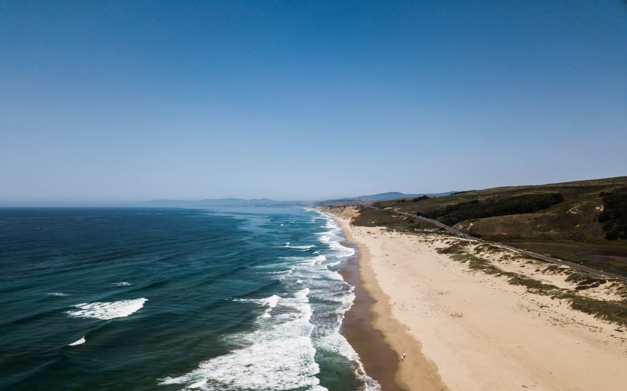
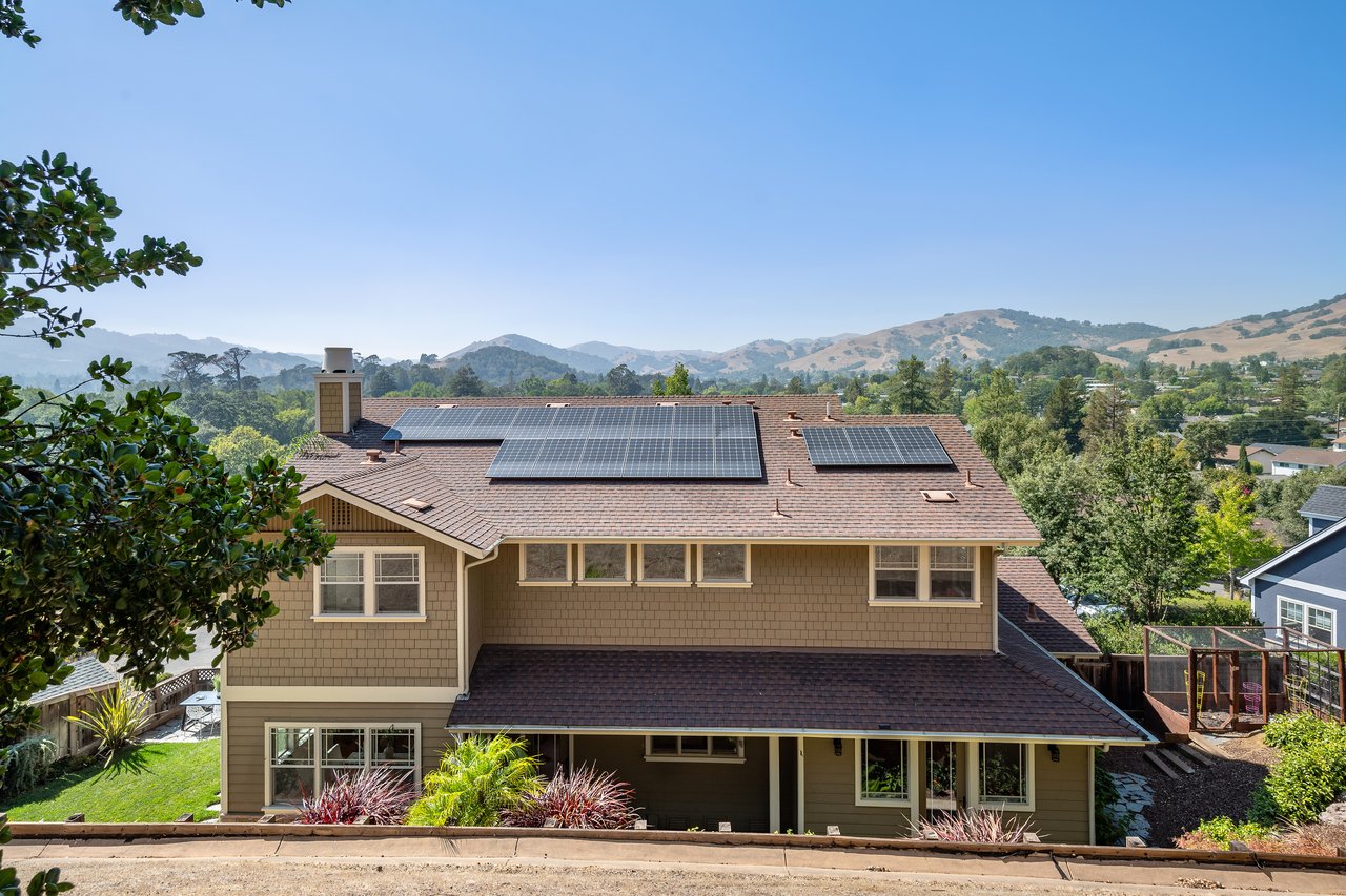 Novato, CA Real Estate: A Resident Broker's Neighborhood Guide
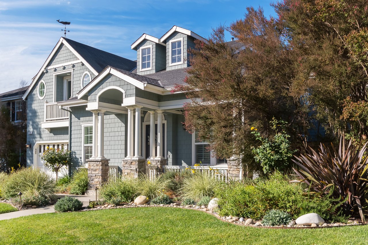 Pointe Marin, Novato CA (94949): Current Listings & Complete Neighborhood Guide
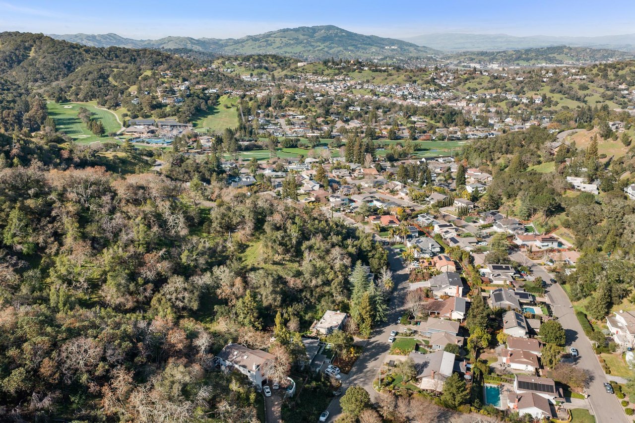 Marin Country Club Estates (Country Club) Novato 94949 Guide
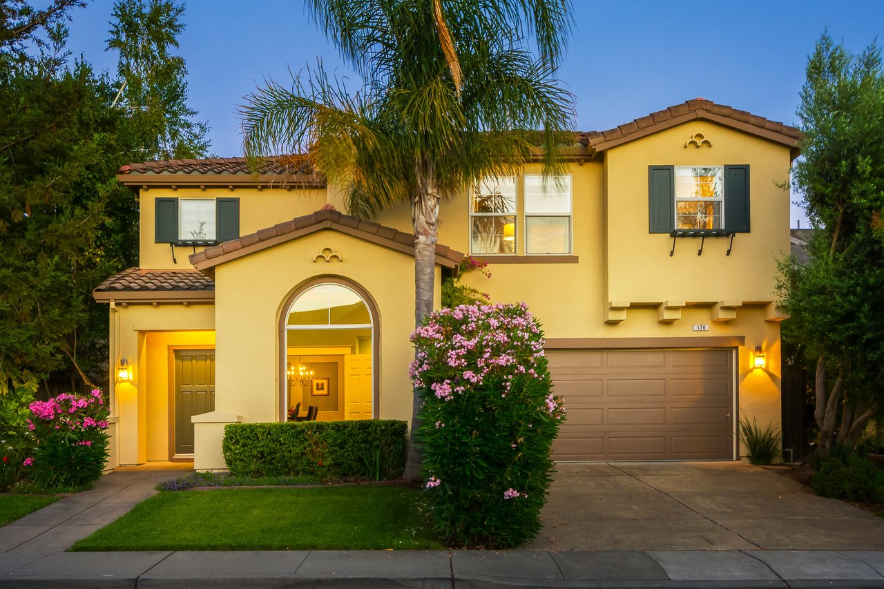 Hamilton Field, Novato (94949): The Definitive 2026 Resident & Buyer Guide
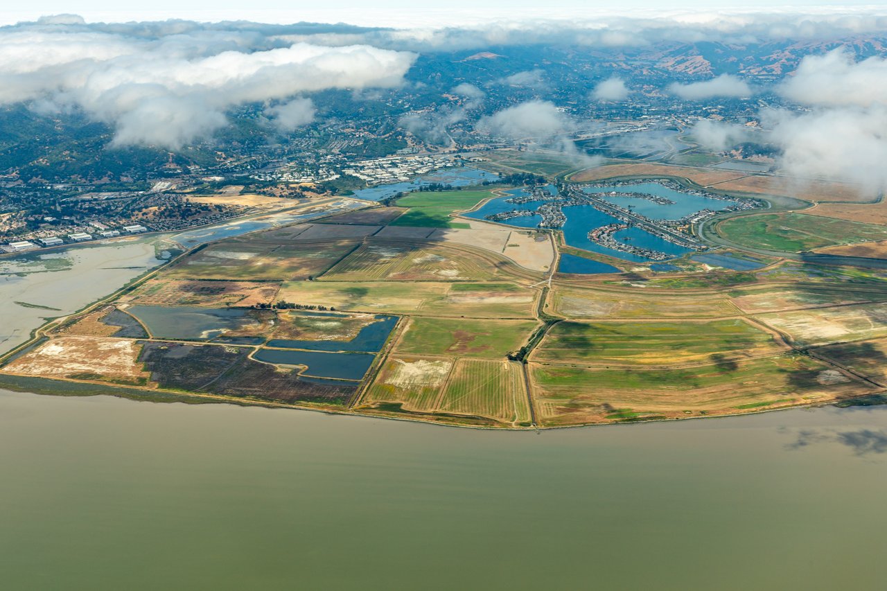 Bel Marin Keys, Novato (94949): Complete Waterfront Community Guide
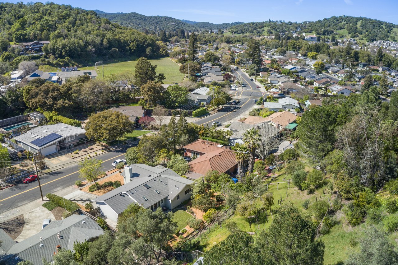 Loma Verde, Novato (94949): Complete Neighborhood Guide
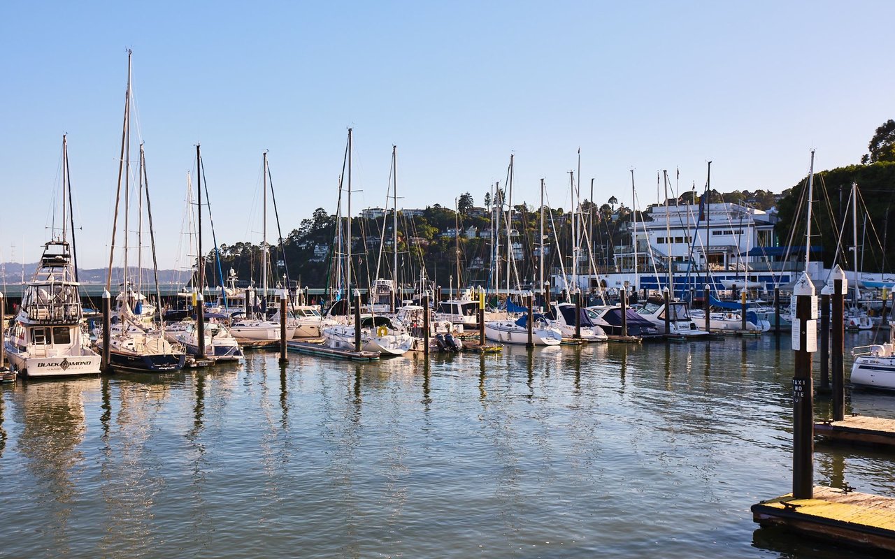 Tiburon, CA Real Estate: A Marin Luxury Broker's Complete Town Guide
 Stinson Beach, CA Real Estate: A Marin Broker's Complete Guide
 Sausalito, CA Real Estate: A Marin Broker's Complete Town Guide
 San Anselmo, CA Real Estate: A Marin Broker's Complete Town Guide
 Ross, CA Real Estate: A Marin Broker's Complete Town Guide
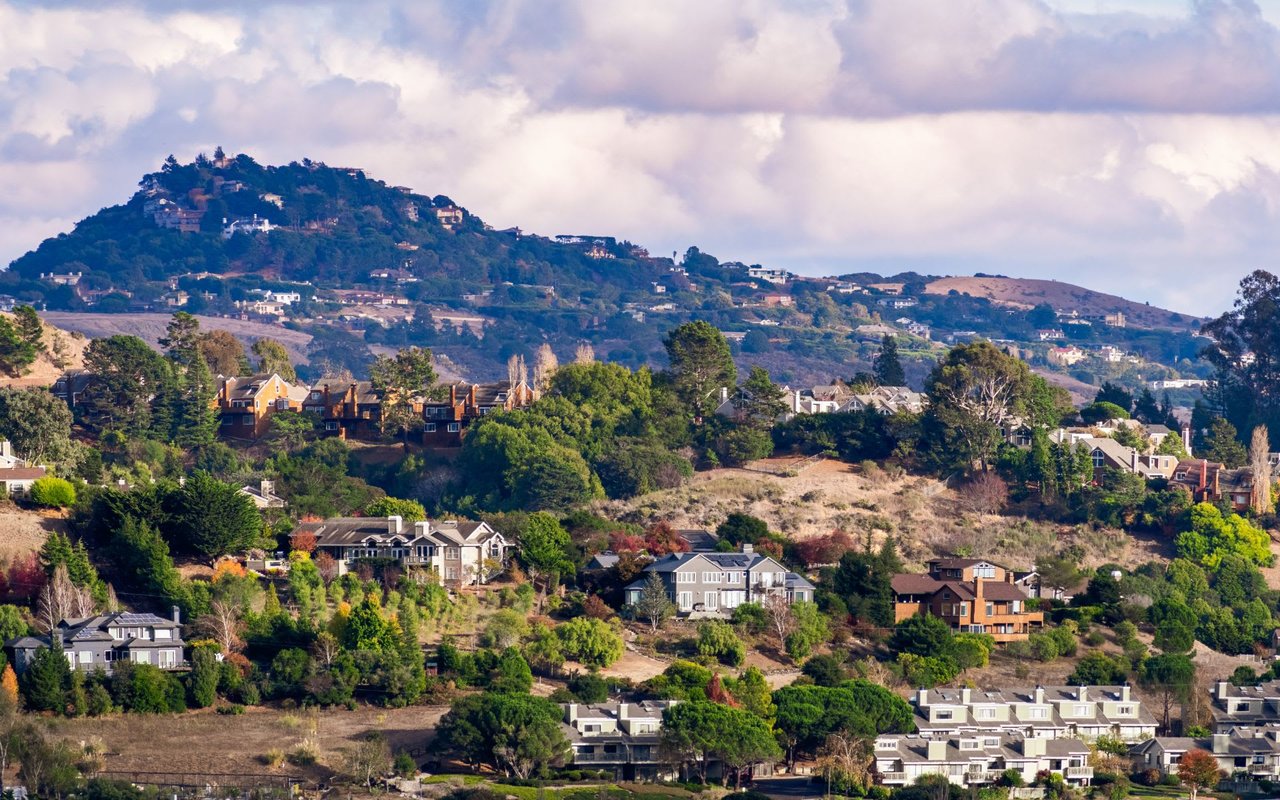 Mill Valley, CA Real Estate: A Marin Broker's Complete Town Guide
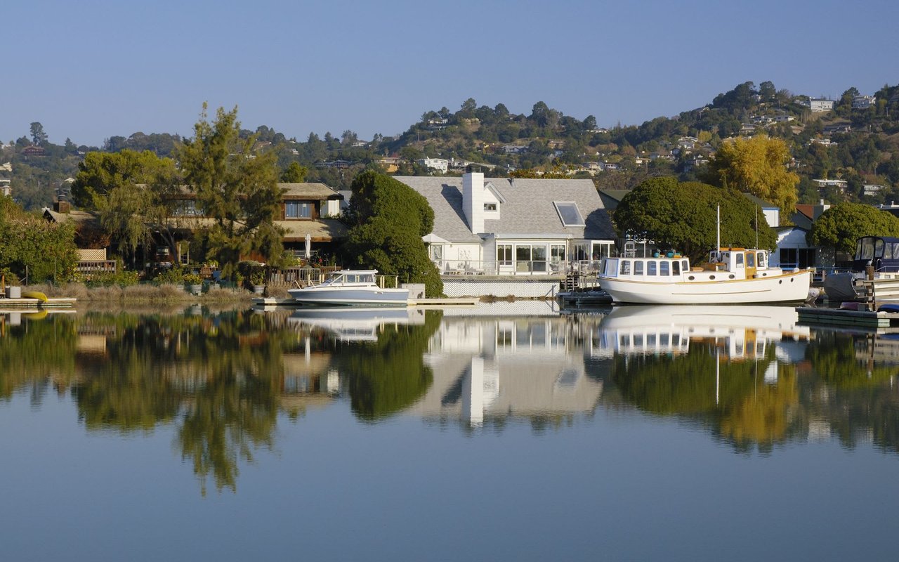 Larkspur, CA Real Estate: A Marin Broker's Complete Town Guide
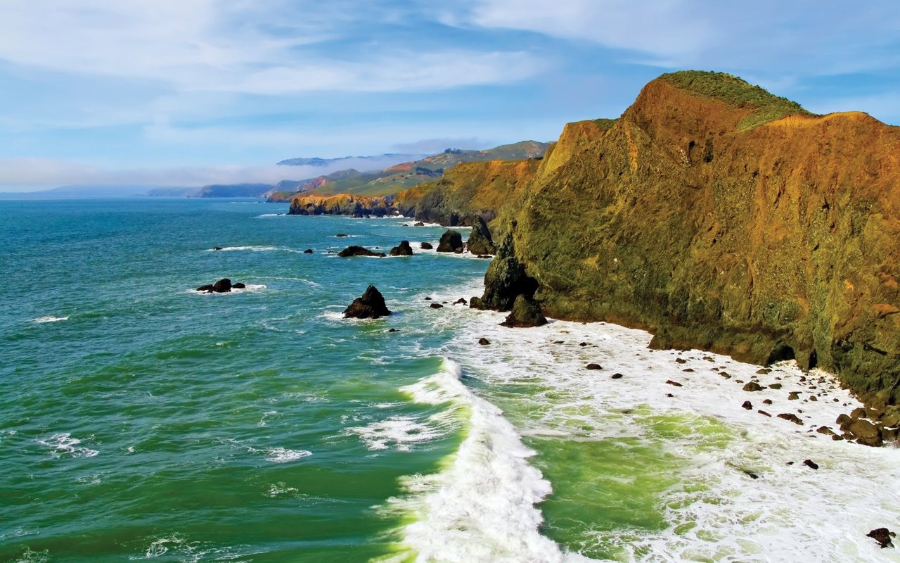 Inverness, CA Real Estate: A Marin Broker's Complete Guide
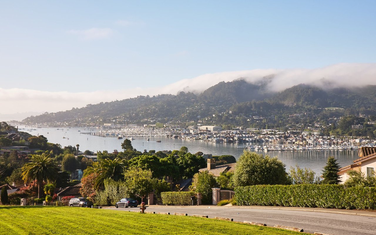 Greenbrae, CA Real Estate: A Marin Broker's Complete Guide
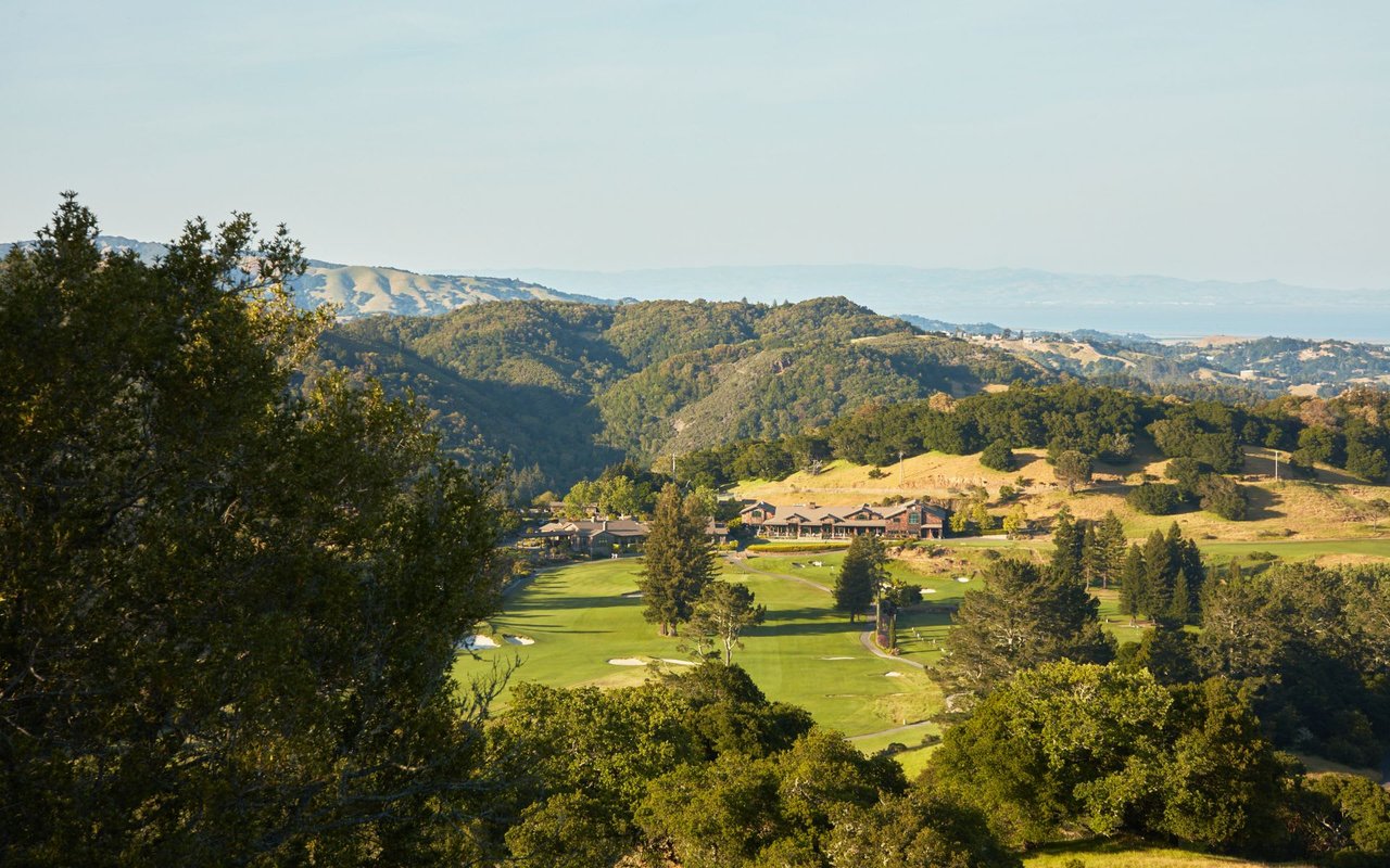 Fairfax, CA Real Estate: A Marin Broker's Complete Town Guide
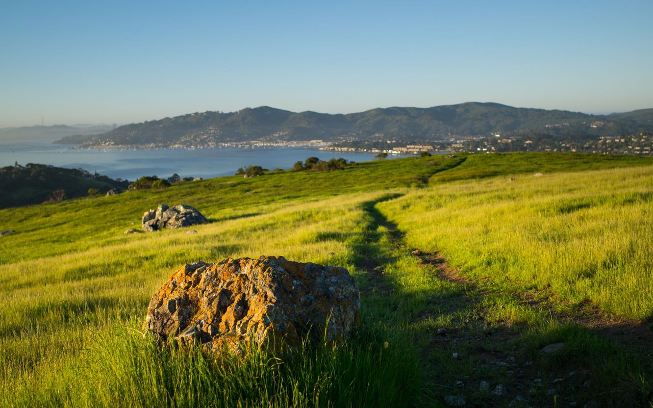 Corte Madera, CA Real Estate: A Marin Broker's Complete Town Guide
San Rafael, CA Real Estate: A Marin Broker's Complete Town Guide
Corte Madera, CA Real Estate: A Marin Broker's Complete Town Guide
San Rafael, CA Real Estate: A Marin Broker's Complete Town Guide
 Kentfield, CA Real Estate: A Marin Broker's Complete Guide
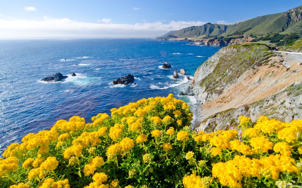 Belvedere, CA Real Estate: A Marin Broker's Complete City Guide
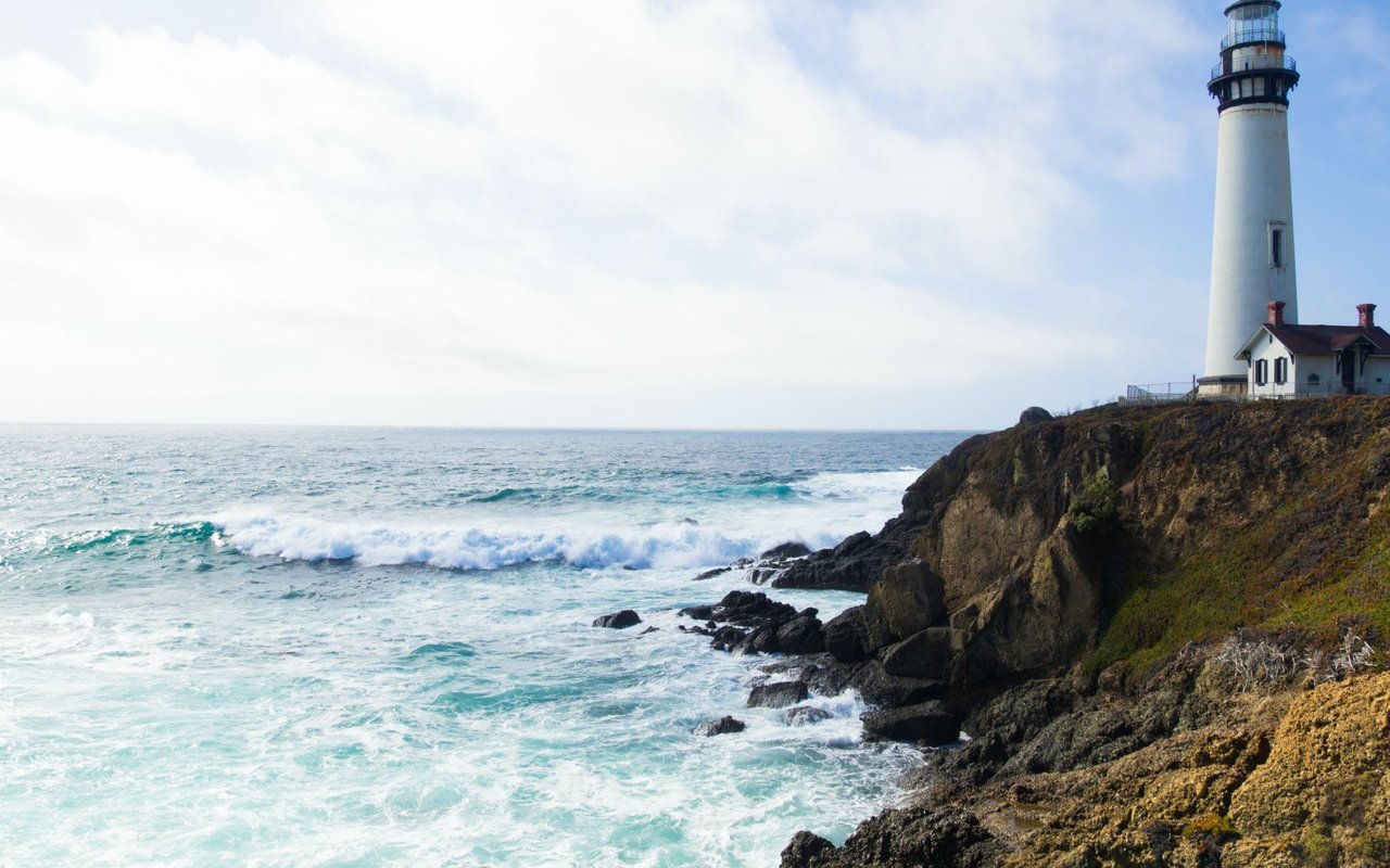 Nicasio, CA Real Estate: A Marin Broker's Complete Valley Guide